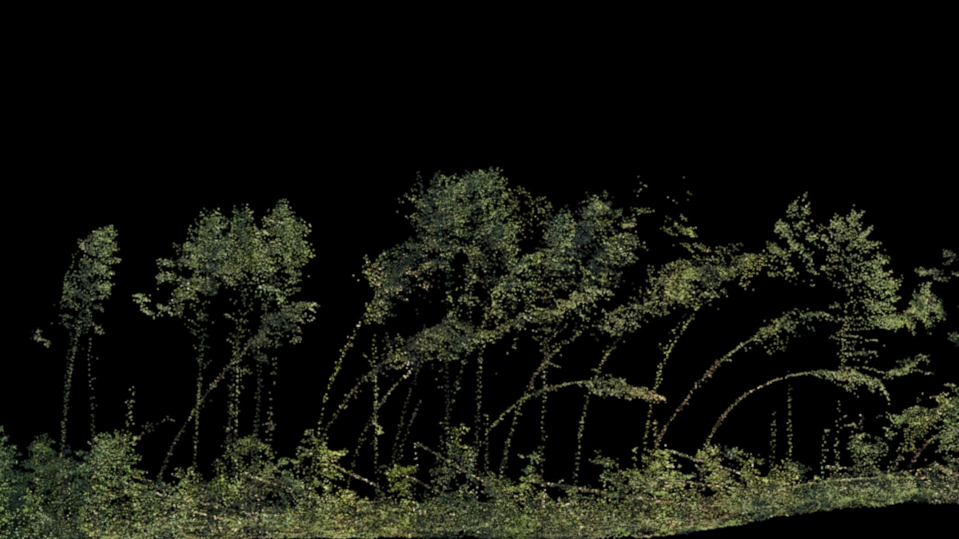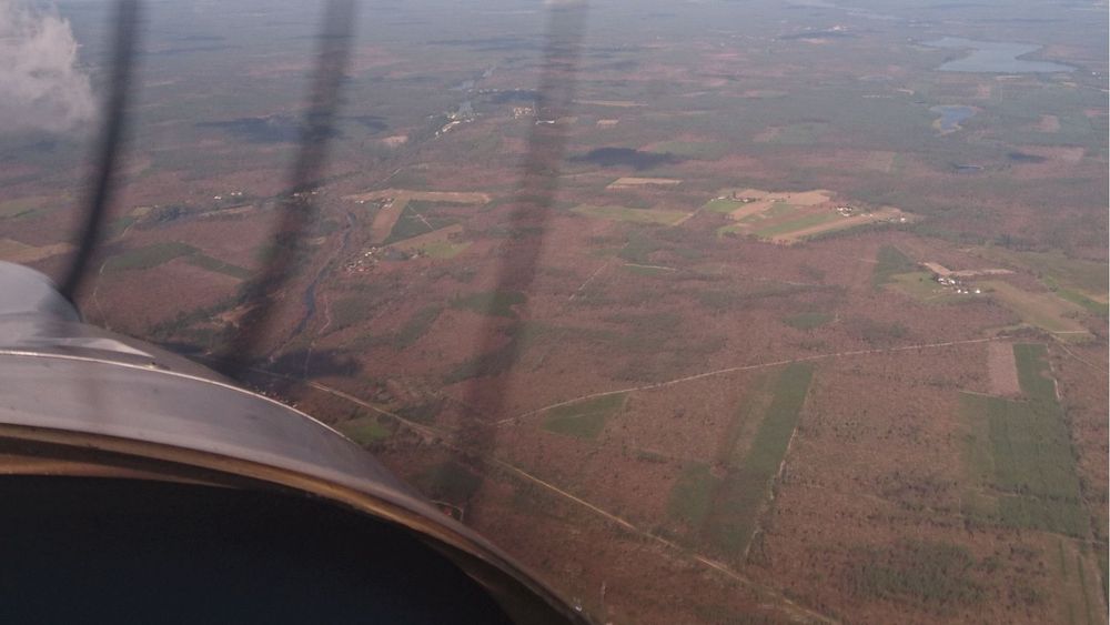
Rapid atmospheric changes can create powerful phenomena that even robust, healthy trees cannot withstand. Storms and hurricanes, in particular, can exhibit such immense destructive force that they break thick tree trunks several meters above the ground.
This kind of damage is a significant concern for foresters, as it dictates their work for many years to come. Fallen trees must be cleared, and the post-hurricane landscape becomes a hazardous zone for workers due to the tangled, chaotic mess of tree trunks. Subsequent stages involve replanting and nurturing a new generation of trees, a process that can take decades to complete.
The massive extent of damage causes the need to carry out large amounts of work in a short time, which is particularly burdensome for forest owners.
During these difficult times, aerial technologies for mapping and measuring damage prove invaluable. These technologies help foresters plan the restoration process more efficiently, returning the forest to a productive state in an organized manner.
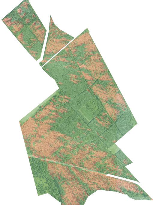
Aerial damage measurement provides answers to several questions: how much wood should be harvested, where the damaged surfaces are located, what is the structure of the damage, what surface should ultimately be renovated and how many forest tree seedlings should be grown in order to renovate the surface.
The Alter-Eye ultralight photogrammetric airplane is used to map damage to tree stands. It allows you to determine the spatial distribution of damaged wood and the areas of damage - including scattered ones. In 2017, the Alter-Eye aircraft was used to map the damage after the "Hurricane of the Century", later called the largest cataclysm in the history of the State Forests in Poland. The accuracy of measuring the biomass of the damaged raw material was 96%, and the maps made after the hurricane became the basis for planning activities in a huge area. The comprehensive results of this effort were documented in the monograph "Hurricane of the Century," published by the Regional Directorate of State Forests in Toruń. This publication, spanning over 100 pages, details the findings from the aerial measurements conducted with the Alter-Eye aircraft.
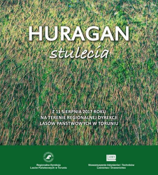
The Alter-Eye ultralight photogrammetric airplane can be employed to map damage to tree stands, enabling the determination of the spatial distribution of damaged wood and affected areas, even those scattered across large regions. In 2017, the Alter-Eye aircraft was used in assessing the devastation caused by the "Hurricane of the Century," which is considered the most catastrophic event in the history of the State Forests in Poland. The aircraft achieved an impressive 96% accuracy in measuring the biomass of the damaged material, and the resulting maps formed the foundation for planning restoration activities over an extensive area. Extensive damage documentation is accessible from numerous online sources:
In June 2024, a smaller-scale hurricane struck the forest stands of the Leżajsk Forest District in southeastern Poland. Aware of the benefits of aerial technology for loss estimation, Polish foresters promptly initiated the process for an aerial loss assessment the day after the hurricane. As a result, just ten days after the event, foresters had access to aerial maps and detailed summaries of the damage across various forest divisions.
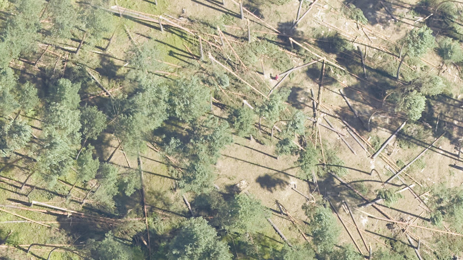
This assessment utilized direct damage measurement through the single-tree method, employing high-density ALS scanning. The accuracy of this method is currently being evaluated based on the ongoing data acquisition.
