Great things we do
for you.
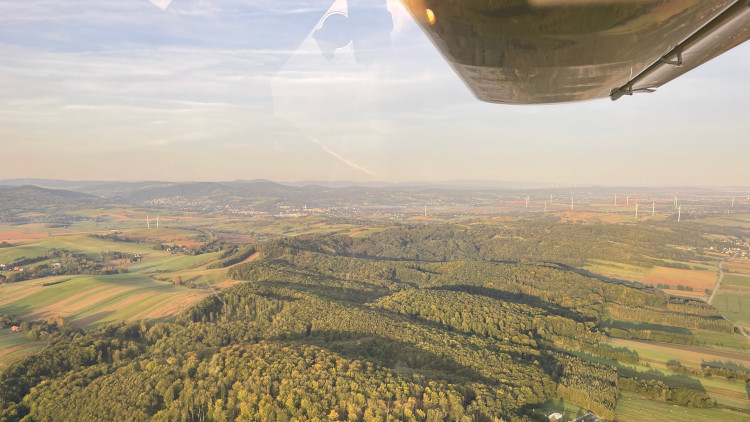
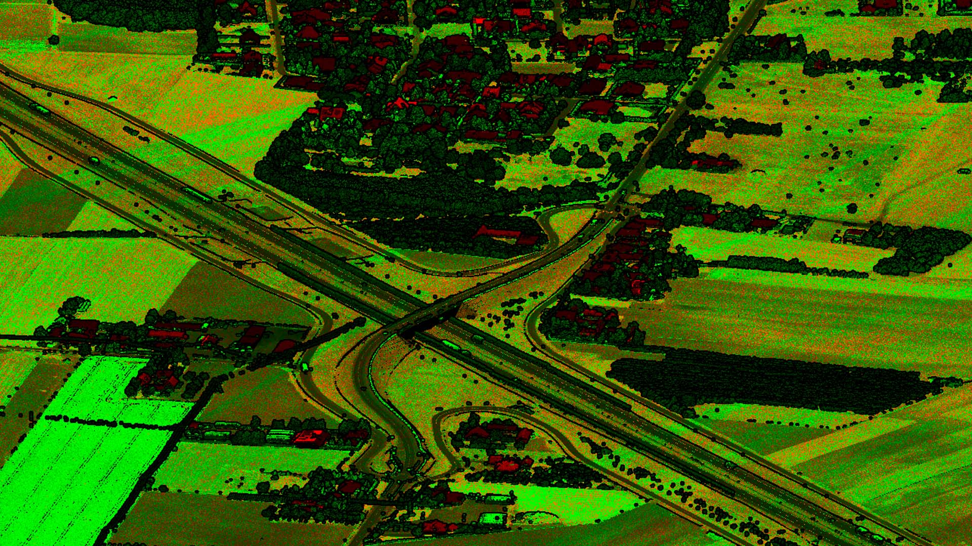
AlterGeo Holding leverages the accomplishments of Polish small and medium-sized enterprises in the aerospace and remote sensing sectors. With over 20 years of experience, the company excels in delivering comprehensive solutions encompassing the entire process—from airborne platform integration and data acquisition to data processing, analysis, and the development of sophisticated GIS systems for data utilization and distribution.
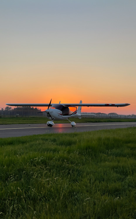
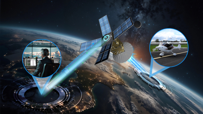
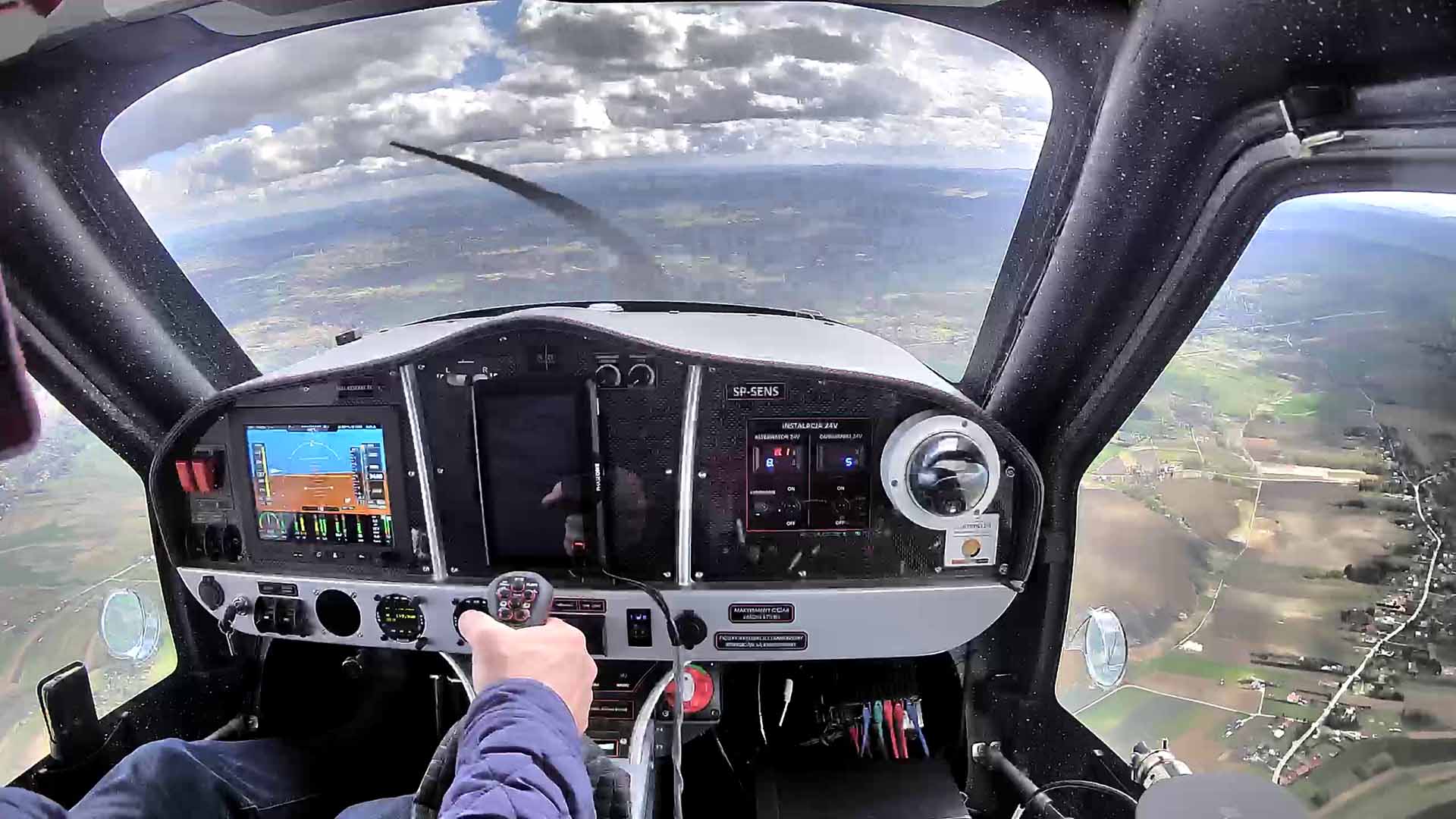
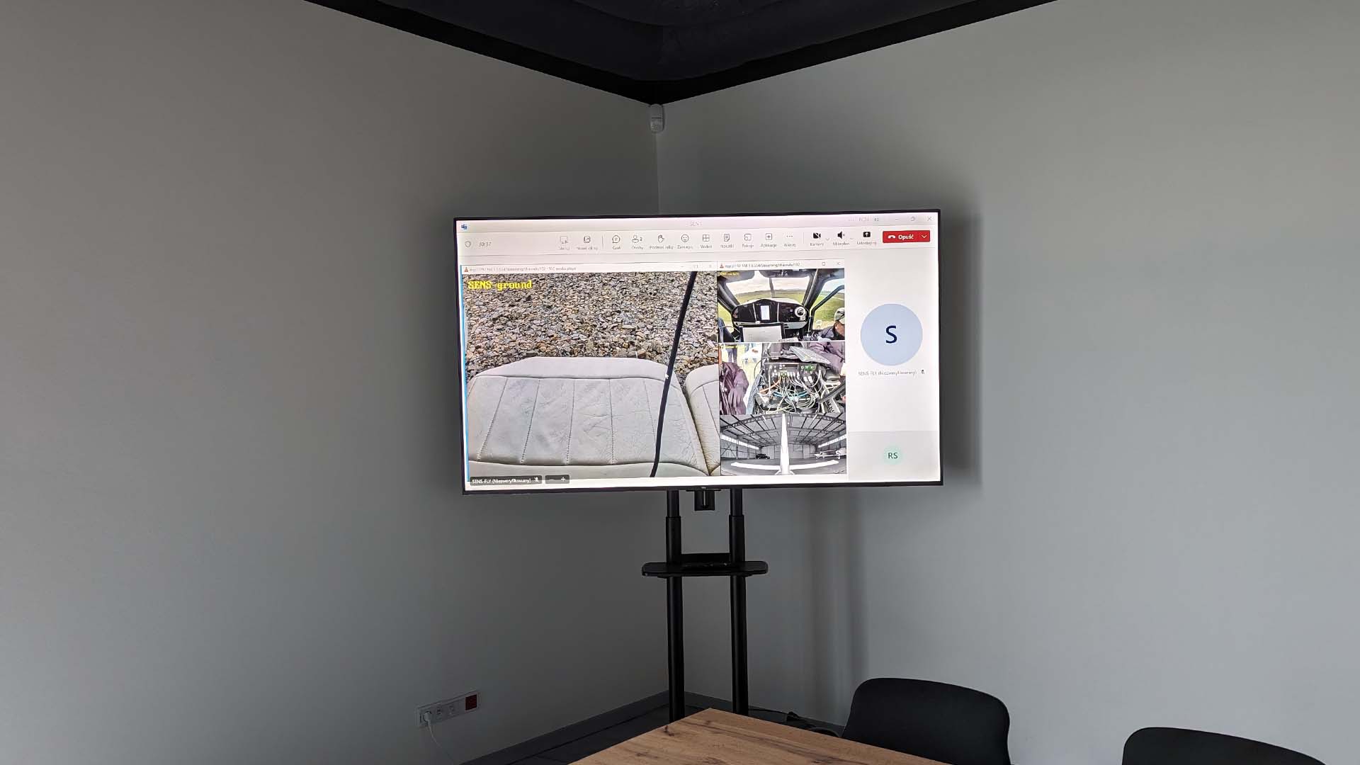
The remotely controlled photogrammetric and surveillance platform offers unparalleled performance, providing a competitive edge. Its global range link enables the aircraft to function as a large drone while retaining its manned status, in full compliance with international aviation laws.
Our comprehensive implementation ensures a high-end solution, enabling the seamless use of acquired data in the end-user system through a predefined process.
Expertise in process organization and staff training ensures successful implementation, reduces timelines, and minimizes errors and costs. Our specialists have dedicated hundreds of thousands of hours to mastering this advanced technology.
We share our success
with you.
Remote sensing
technology in work.
Standard delivery time - 6 months.
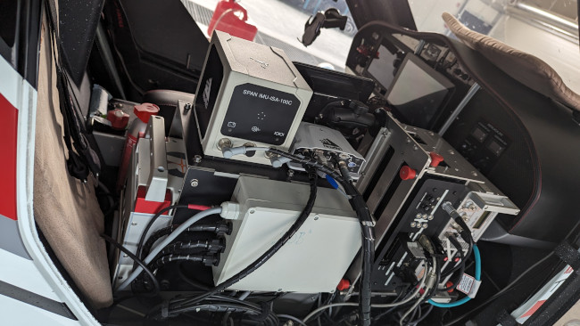
Delivery includes:
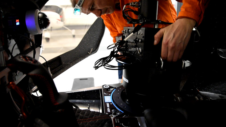
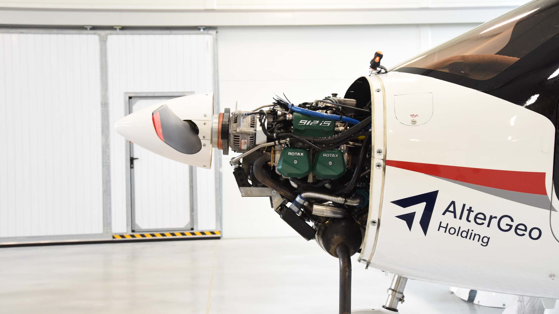
- integrated aircraft with sensors;
- satellite connection subscription;
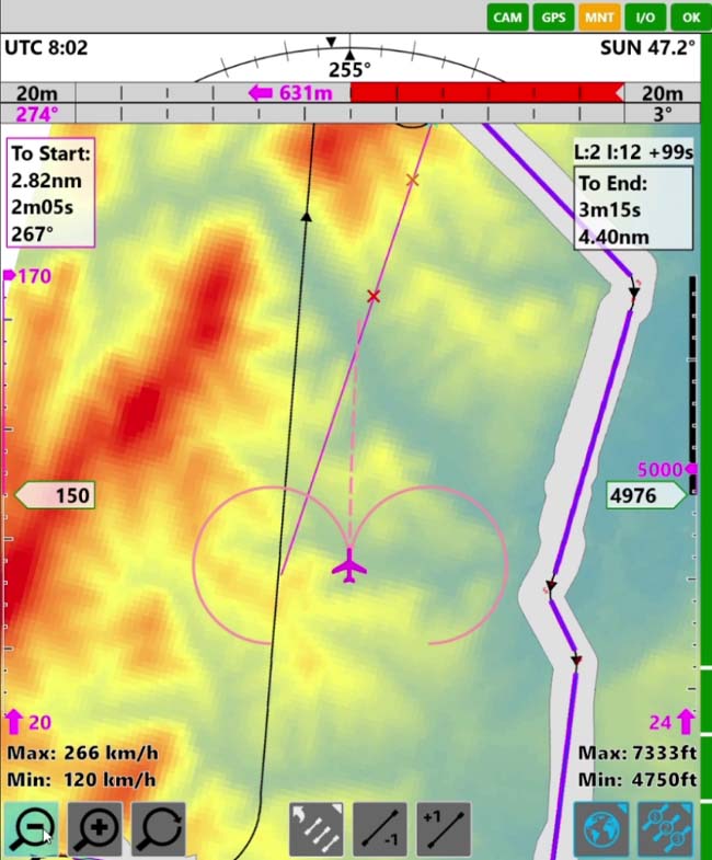
- ground control station;
- system configuration and training.